Integrating wetlands in water management
-
Integrating wetlands in water management
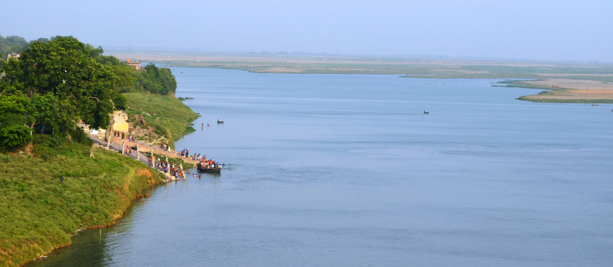
Rivers and wetlands provide water for meeting human needs, as well as for the survival of numerous species. Degradation of rivers and wetlands has made the society food and water insecure. We seek enhanced recognition of river and wetlands interlinkages as a basis of water management policy and planning.
The Hindu Kush Himalayan mountain system is often termed as ‘water tower of Asia’ as it contains the largest freshwater resource, in the form of glaciers and permafrost, outside the North and the South Pole. The rivers emanating from these mountains sustain nearly one-fifth of the global population. The high altitude wetlands help buffer glacier melt and proving stable base flows. Downstream the floodplains support highly fertile agriculture and fisheries, also providing flood buffer to communities. This upstream-downstream connect, is however not taken into account in water management planning.
Our work aims at increasing recognition of the interconnectivity of rivers and wetlands, within an integrated river basin management framework. We seek water management solutions that can help meet developmental needs without compromising on ecosystem functioning.
Cooperation between water and wetland management sectors is often limited due to inability to describe, quantify and communicate interests, objectives and operational requirements. Wetland managers need sufficient understanding of the technical and operational aspects of water resources management to understand the methods of articulating and quantifying their requirements in metrics and parameters used by wetland managers. Further, they also need to know the mechanism for defining operating rules and flow regimes that represent the optimal allocation of water between multiple uses, including ecosystem maintenance. Similarly, water managers require quantitative understanding of the hydrological services of wetlands, and the water regime required to maintain these services. We work for building capacity of wetland managers in defining water regime requirements, and integrating with river basin and coastal zone scale planning.
