
Developing a model management planning framework for high altitude wetlands of Himachal Pradesh
-
Capacity development
-
Climate and disaster risks
-
Integrated management planning
-
Integrating wetlands in water management
-
Natural infrastructure solutions
-
Peatland conservation and restoration
-
Rivers and lakes
-
Wetland values, status and trends
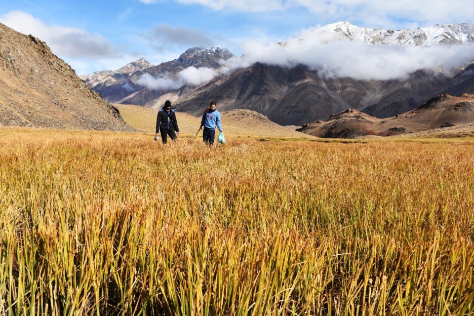
Wetlands International South Asia is entrusted with developing a model management planning framework for high altitude wetlands (HAWs) in select Himalayan landscapes under ‘SECURE Himalayas’ project of UNDP and MoEFCC. Chandertal, a high altitude Ramsar wetland, has been identified as a pilot site in western Himalayas.
Field assessments for characterising Chandertal and its catchment were carried out in September, 2019. During the mission, data on water sources and quality, soil profile and floral diversity was collected. Project team also met stakeholders to gain insights into their views and opinions for management of the wetland.
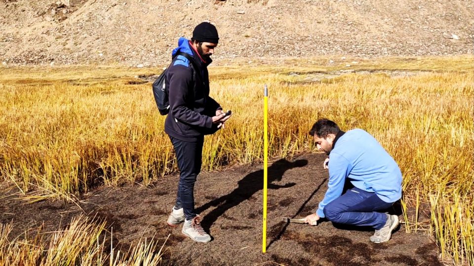
During the visit, water samples from the wetland were tested for physico-chemical parameters using portable kits. Soil samples were also collected for further analysis. Preliminary assessment around Chandertal indicate shallow peat formations. This shall be reconfirmed after soil sample analysis. Floral diversity was also assessed for the fall season using line transect method. Plants such as Potentilla, Stipa, Anahpilis, Bistorta and several alpine grass species were commonly recorded in the area.
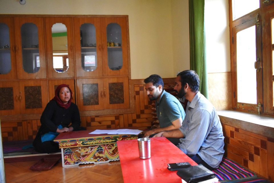
Semi-structured questionnaires were used to understand community perceptions about the status of wetland, community dependence, threats and possible management interventions. Regulation of tourism and grazing were identified to be crucial for conservation and management of Chandertal.
The field assessments will help in describing the wetland features, problem statement and appropriate management regime. Using statistical tools, survey sheets on floral diversity and socio-economic perceptions will be analysed. Laboratory facilities will be used to test soil samples for desired parameters, especially carbon content and texture. Fundamental information on wetland hydrology will be derived using hydrological models.
Aforementioned data will be synthesised to formulate the model management plan of Chandertal and develop a Standard Operating Procedure for management planning of other HAWs in the landscape.